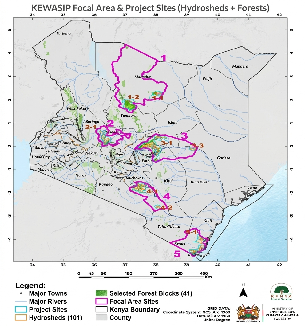
Project Areas
Project approach
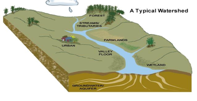
Project adopts a watershed-based approach as the primary unit for integrated ecosystem planning and management in selected areas. The approach places strategic focus on Kenya’s water towers, major rivers originating from them, and their downstream flows into critical interconnected catchments encompassing forests, agricultural lands, and rangelands.
Area selection criteria
KEWASIP focal geographical areas followed a structured, multi-level methodology designed to ensure ecological relevance, efficiency, and alignment with available resources.
Focal areas
Marsabit, Marmanet, Nyambene, Chyulu Hills, and Shimba Hills.
Project counties
Marsabit, Samburu, Garissa, Isiolo, Baringo, Meru, Tharaka Nithi, Tana River, Laikipia, Kitui, Makueni, and Kwale.